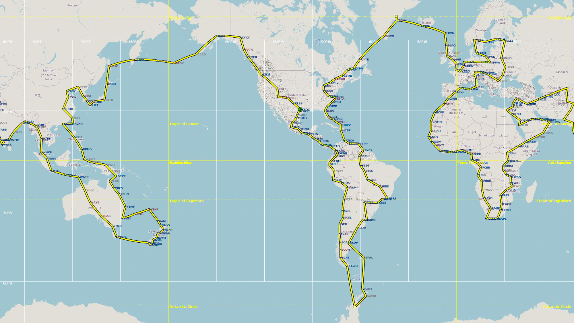
This page shares flight plans and screen captures from a virtual round-the-world plane trip. My goals were to see the world and improve my flight skills. The trip visited all continents and oceans of the world, major cities, landmarks, and world heritage sites.
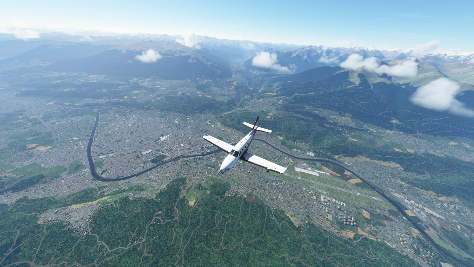
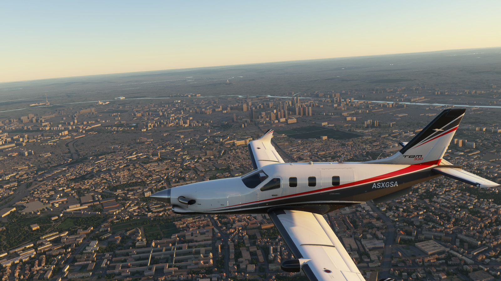
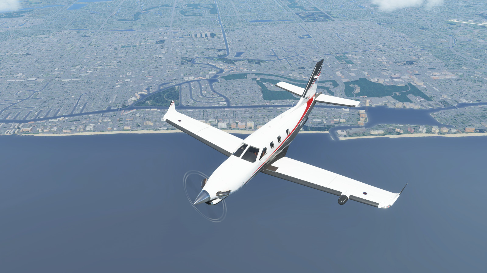
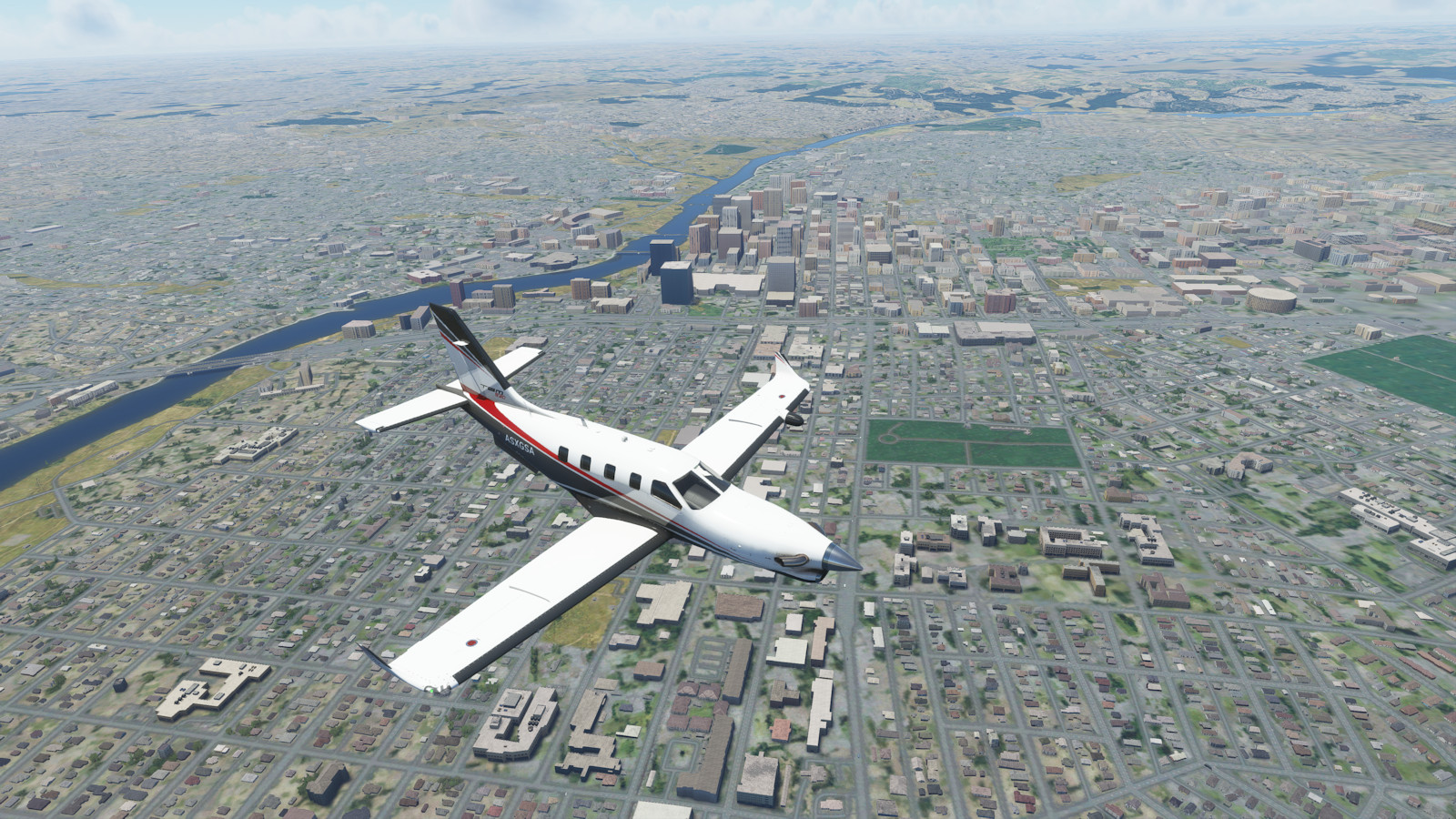
The virtual trip was made in Microsoft Flight Simulator (MSFS) in 4k (3840 by 2160) screen resolution on "high quality" settings. Flight planning was done with Little Nav Map, Sky Vector, ForeFlight, and Google Maps software. The entire virtual trip was made with a Daher TBM 930 turboprop airplane. This plane has a cruising speed of about 240 knots (nautical miles per hour) and a range of about 1700nm (nautical miles).
The round-the-world trip visited 106 countries, 247 cities, crossed the equator 6 times, covered 68,709nm in nearly 283 hours of flight time (nearly 12 days), spread out over 60 day trips.
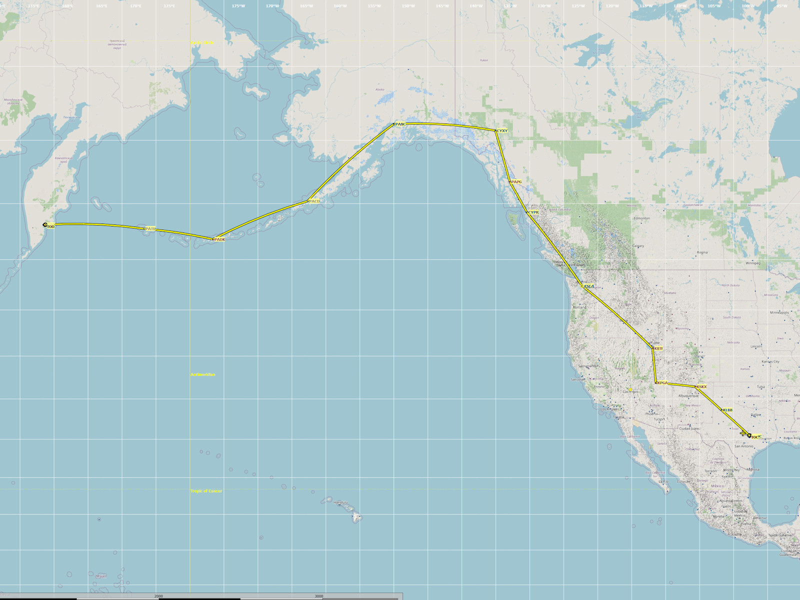
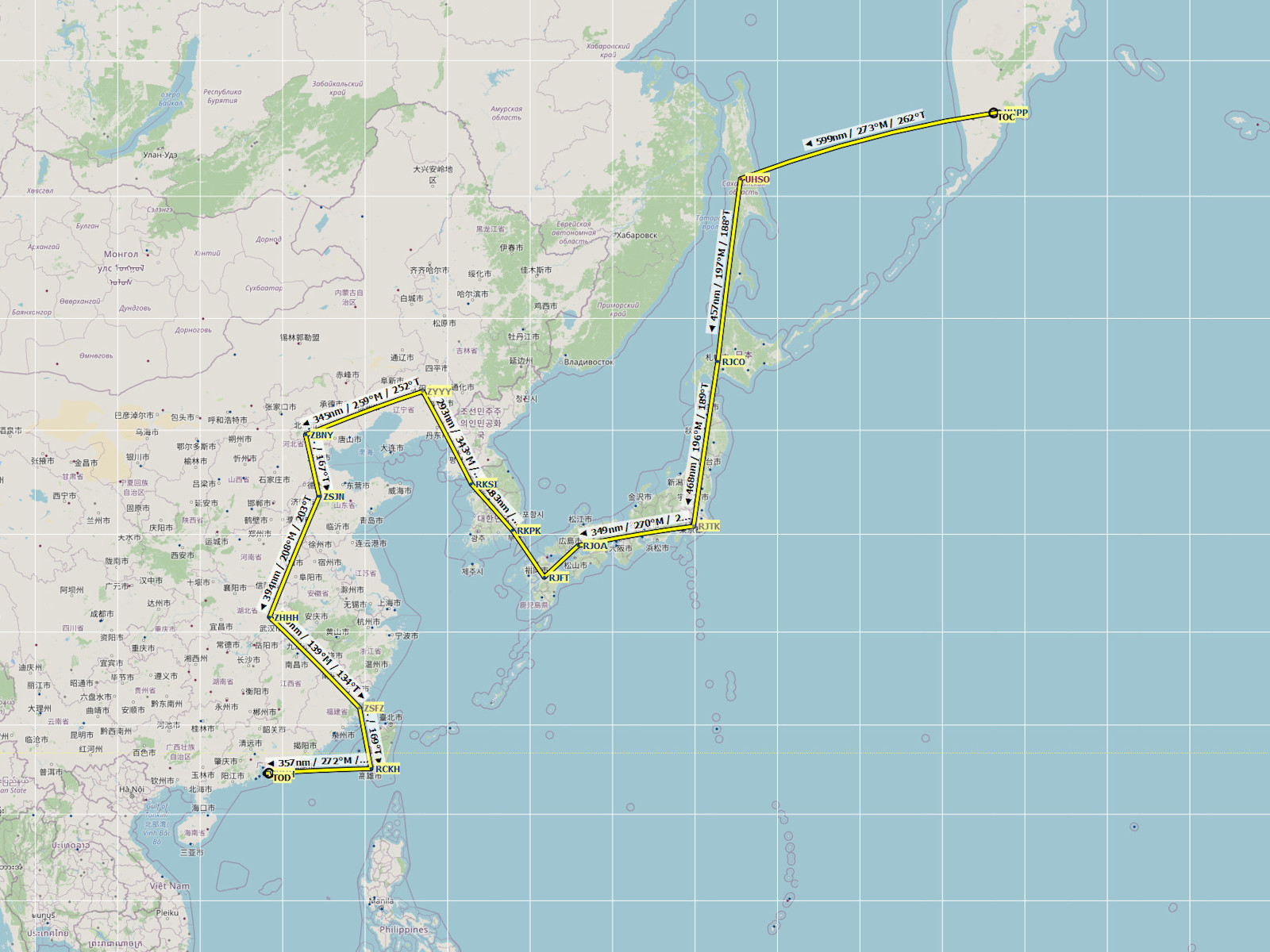
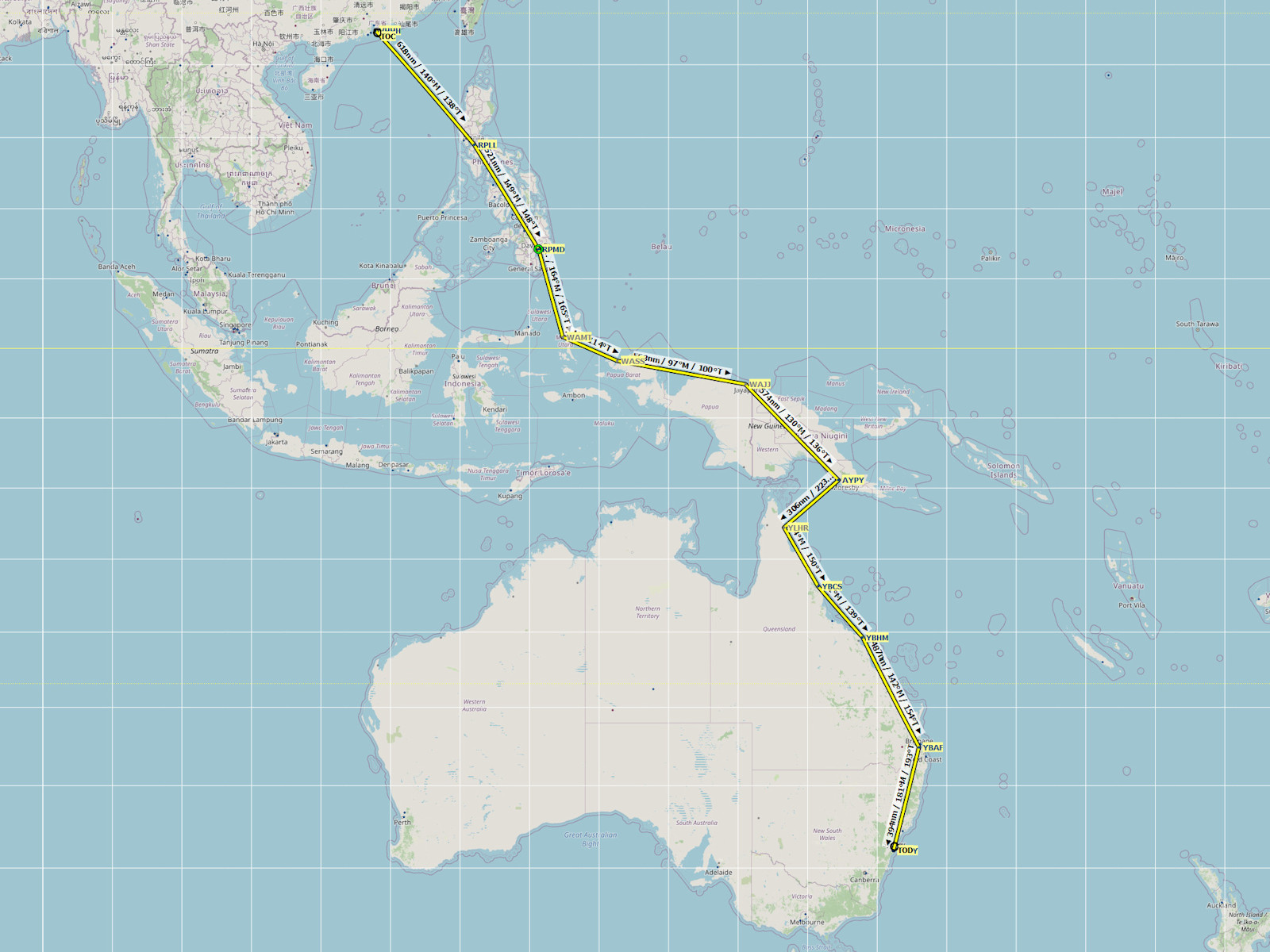
The trip was made in 13 large segments of about 5000 nautical miles each (1 nm equals 1.15 statute miles or 1.85 kilometers). Each segment took about 4 to 6 day trips of about 1000 to 1200 nautical miles. Each day trip consists of about 4 to 8 legs of about 200 nautical miles between airports or waypoints.
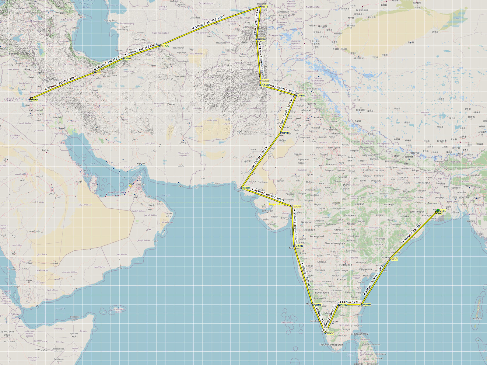
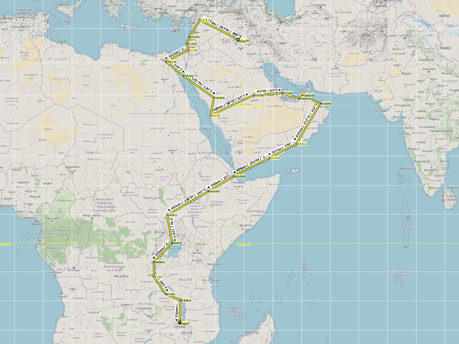
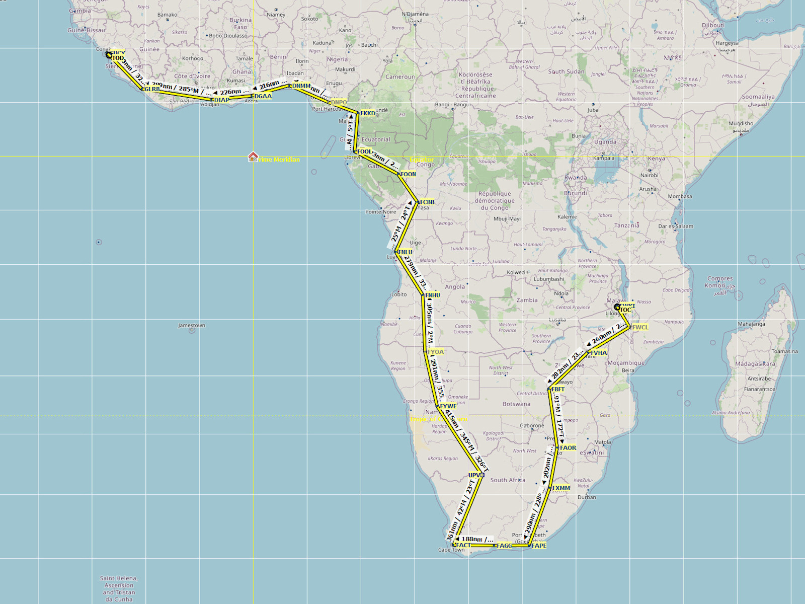
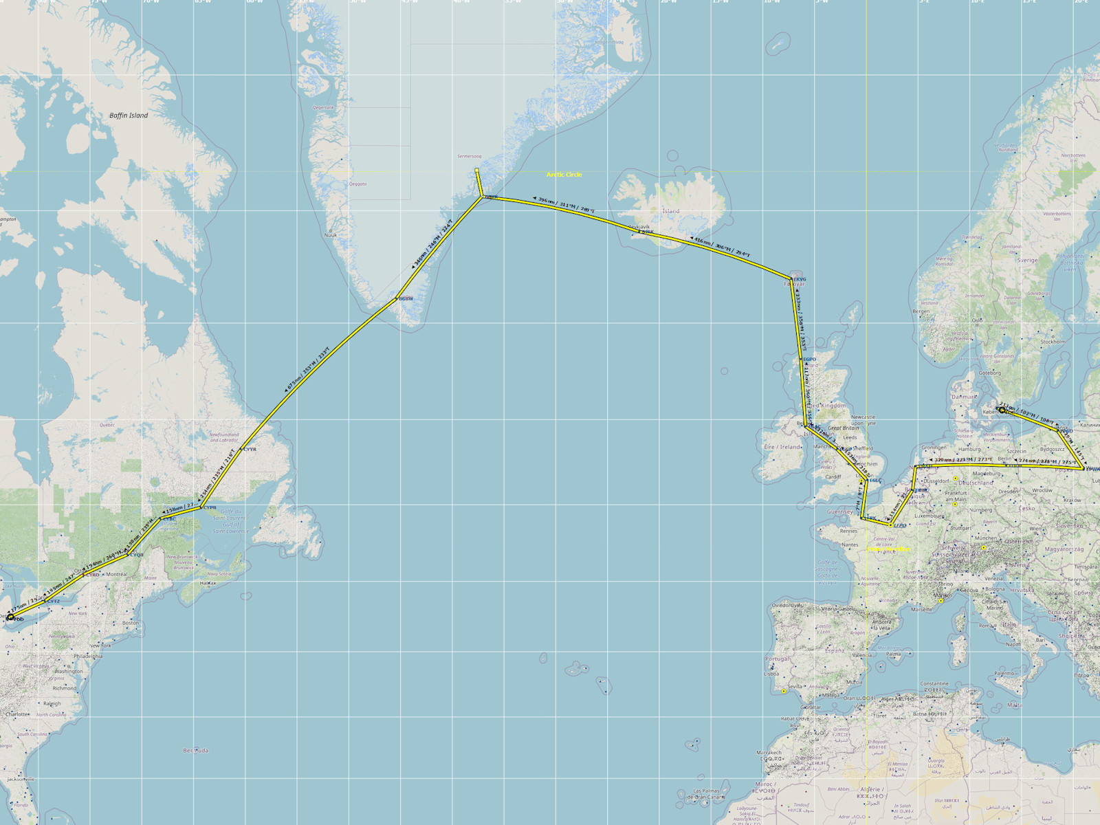
Click on the picture to see a larger version of the flight map,
or click "Download Link/Save Link As..." on this link text to save a Little Nav Map compatible flight plan.
| Seg | Ctry | City | Ident | Name | Dist nm | Time hh:mm |
Cumu nm | Cumu hh:mm |
|---|---|---|---|---|---|---|---|---|
| 1 | USA | Austin | KEDC | Austin Executive | ||||
| 2 | RUS | Petropavlovsk | UHPP | Yelizovo | 5002 | 20:31 | 5002 | 20:31 |
| 3 | HKG | Hong Kong | VHHH | Hong Kong Intl | 4550 | 18:58 | 9552 | 39:29 |
| 4 | AUS | Sydney | YSSY | Sydney Kingsford Smith Intl | 4672 | 19:28 | 14224 | 58:57 |
| 5 | AUS | Hobart | YMHB | Hobart | 3265 | 13:37 | 17489 | 72:34 |
| 6 | IND | Kolkota | VECC | Kolkata Chandra Bose Intl | 5757 | 24:00 | 23246 | 96:34 |
| 7 | IRQ | Baghdad | ORBI | Baghdad Intl | 4745 | 19:47 | 27991 | 116:21 |
| 8 | MWI | Lilongwe | FWKI | Lilongwe Intl | 6061 | 25:15 | 34052 | 141:36 |
| 9 | GIN | Conakry | GUCY | Conakry | 5969 | 24:53 | 40021 | 166:29 |
| 10 | DNK | Copenhagen | EKCH | Kastrup | 5727 | 23:52 | 45748 | 190:21 |
| 11 | USA | Detroit | KDET | Coleman A. Young Muni | 5322 | 22:11 | 51070 | 212:32 |
| 12 | BRA | Rio De Janeiro | SBRJ | Santos-Dumont | 5512 | 22:59 | 56582 | 235:31 |
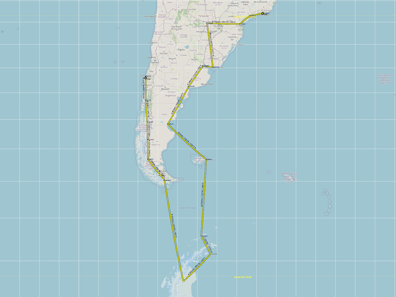
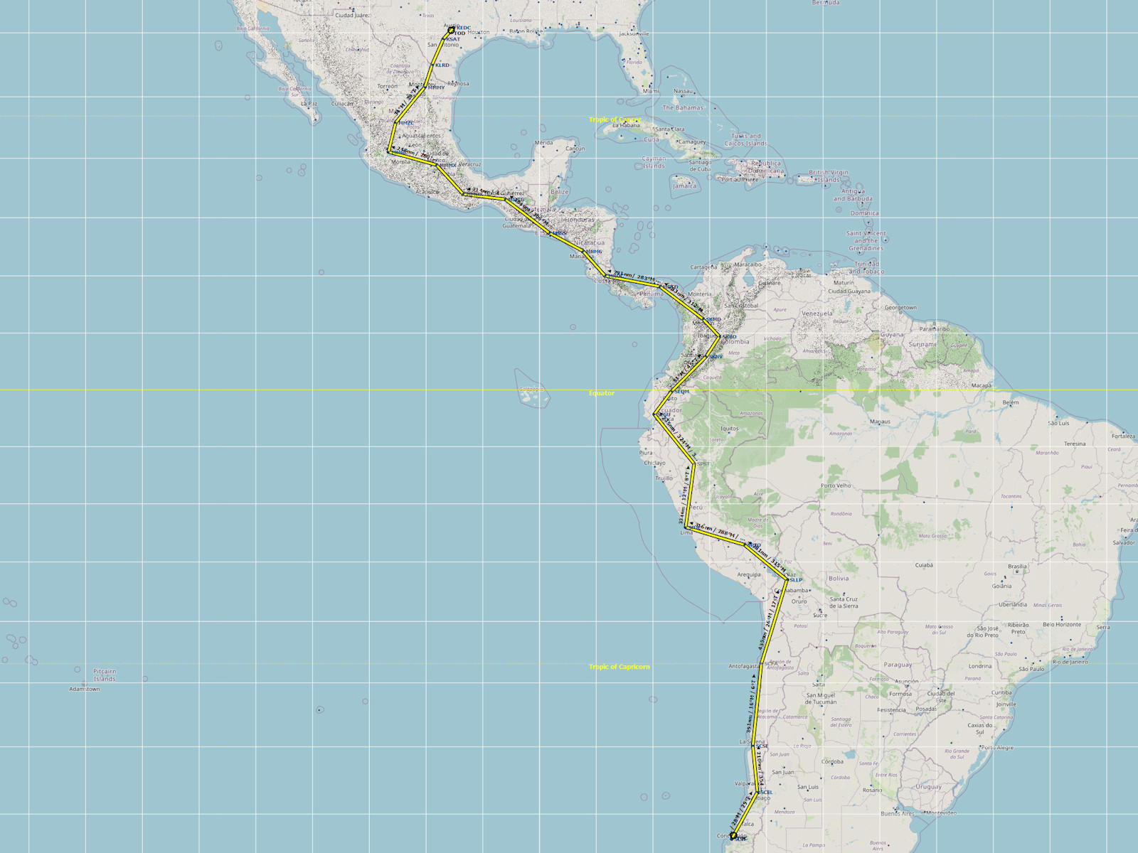
| 13 | CHL | Concepcion | SCIE | Carriel Sur | 5740 | 23:56 | 62322 | 259:27 |
| 14 | USA | Austin | KEDC | Austin Executive | 5768 | 24:03 | 68090 | 283:30 |
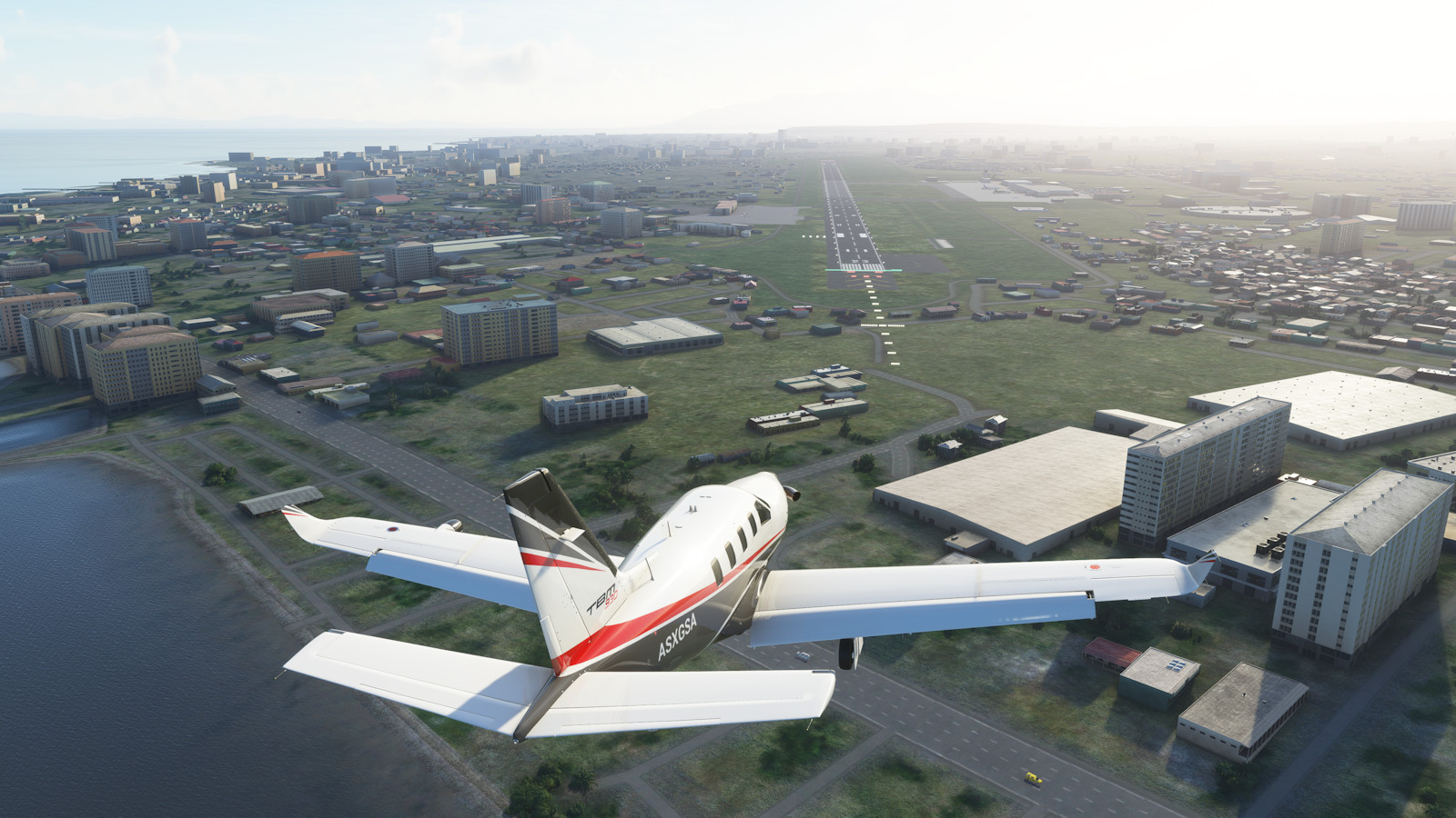
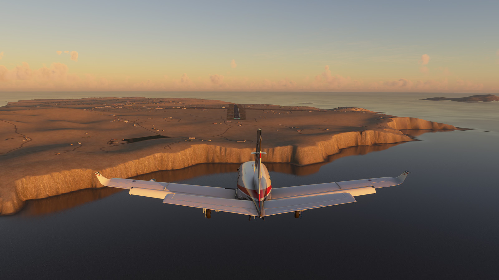
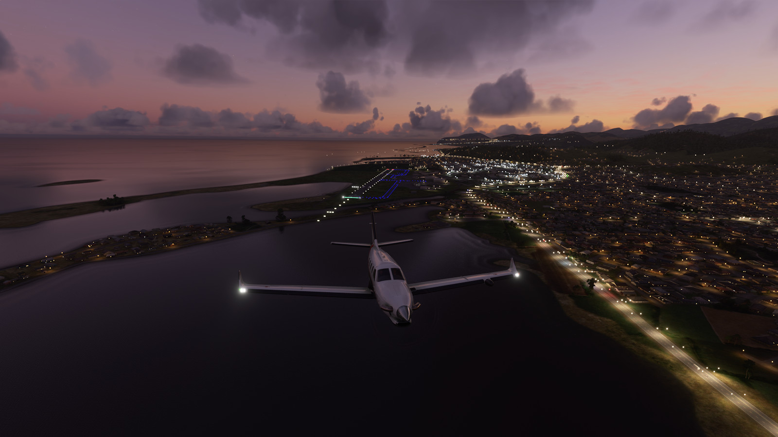
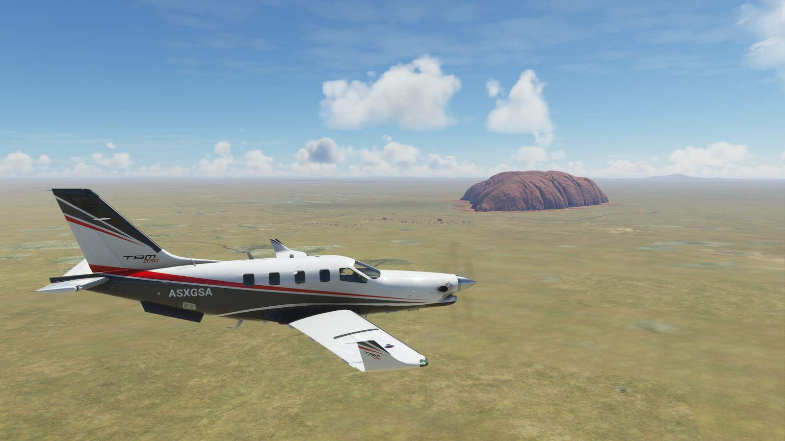
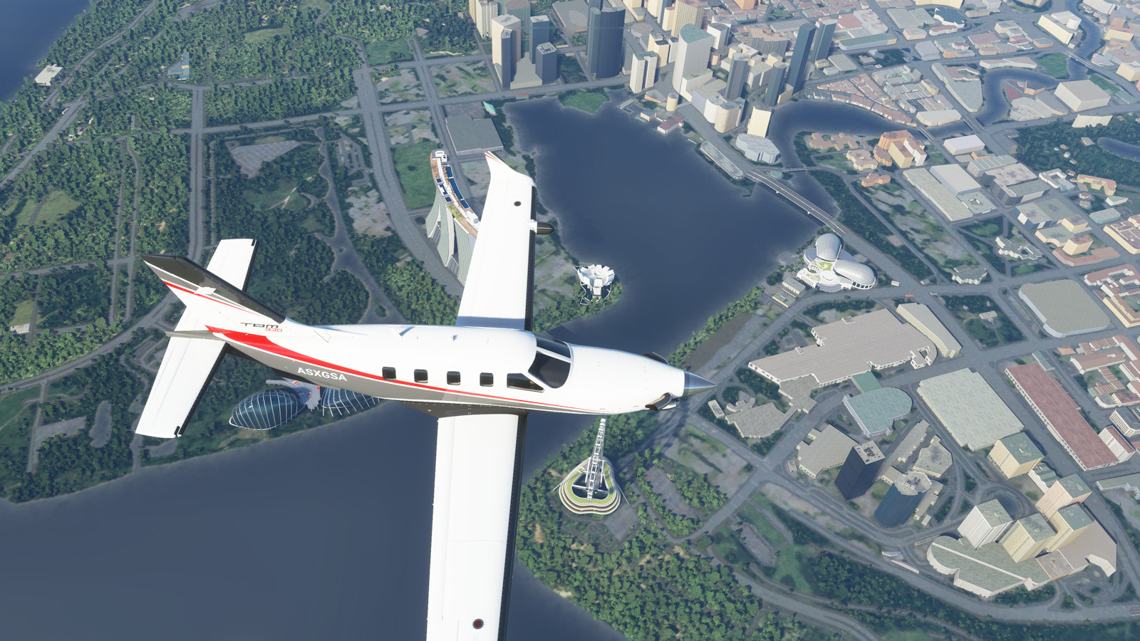
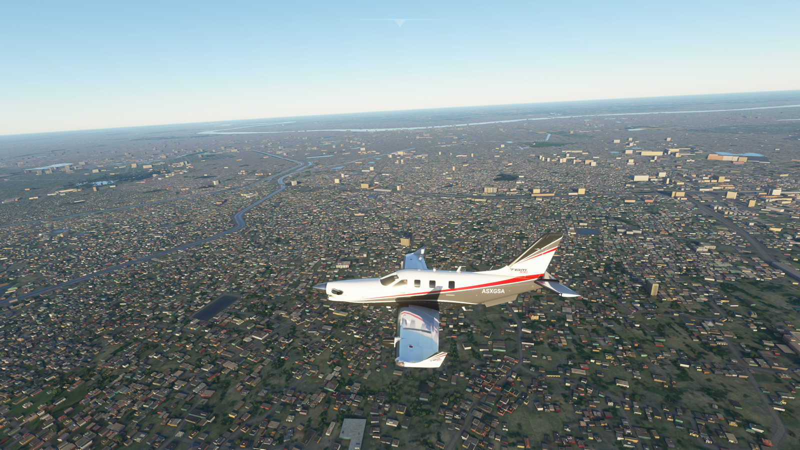
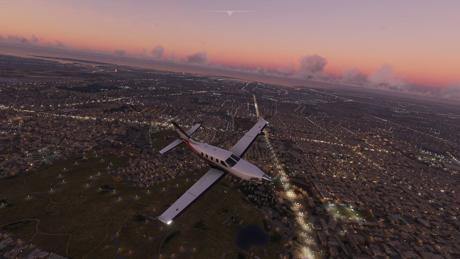
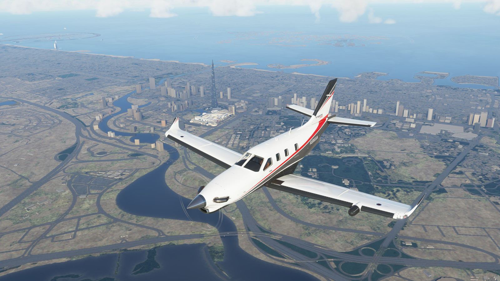
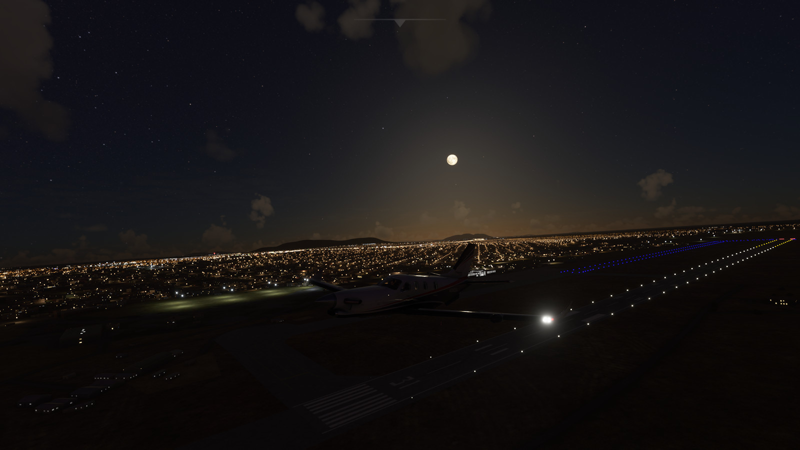
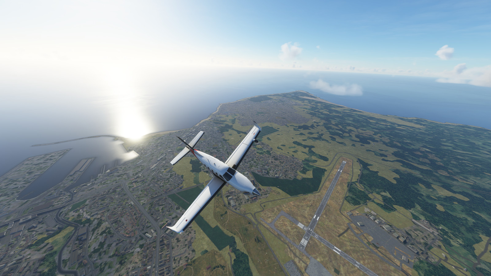
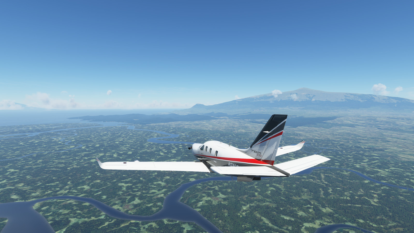
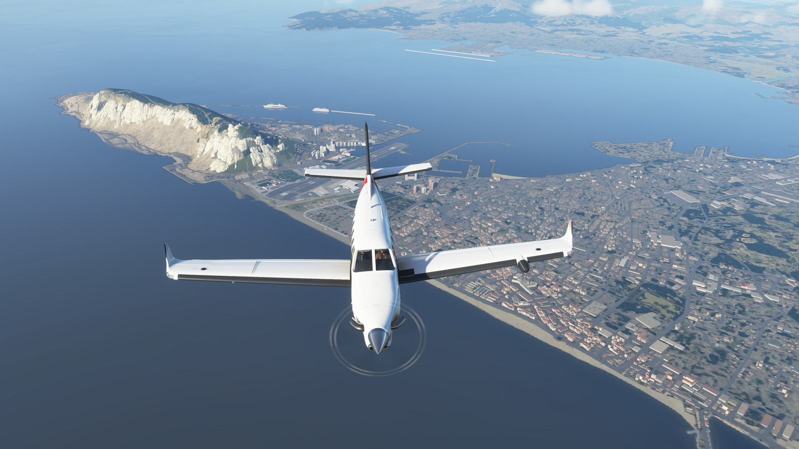
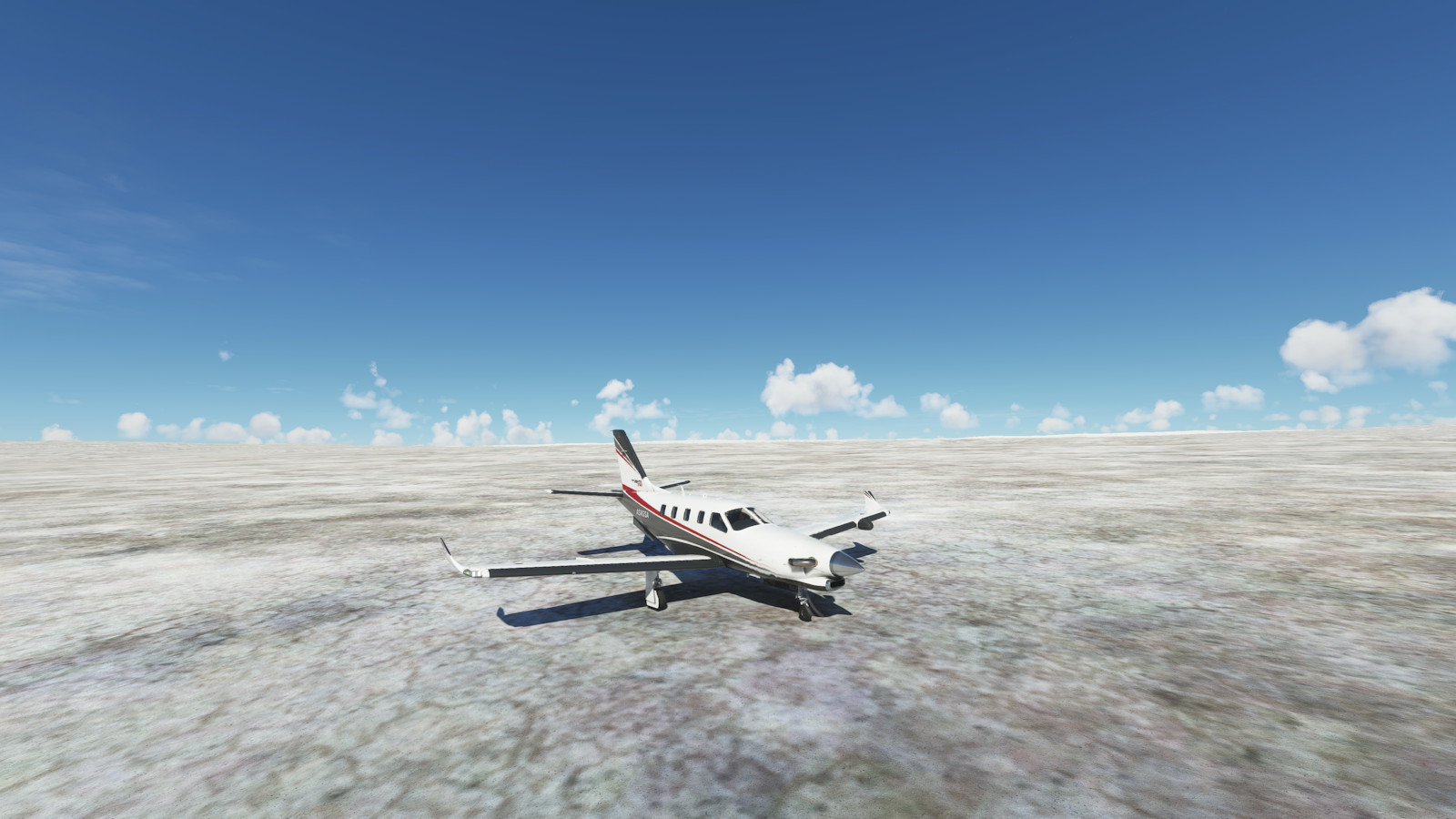
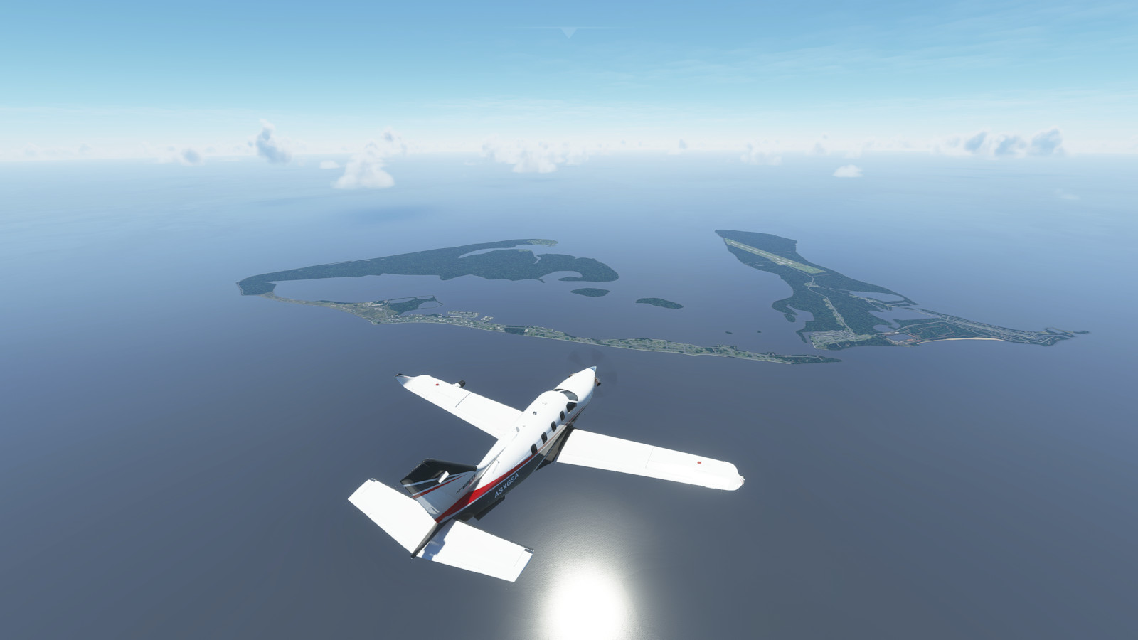
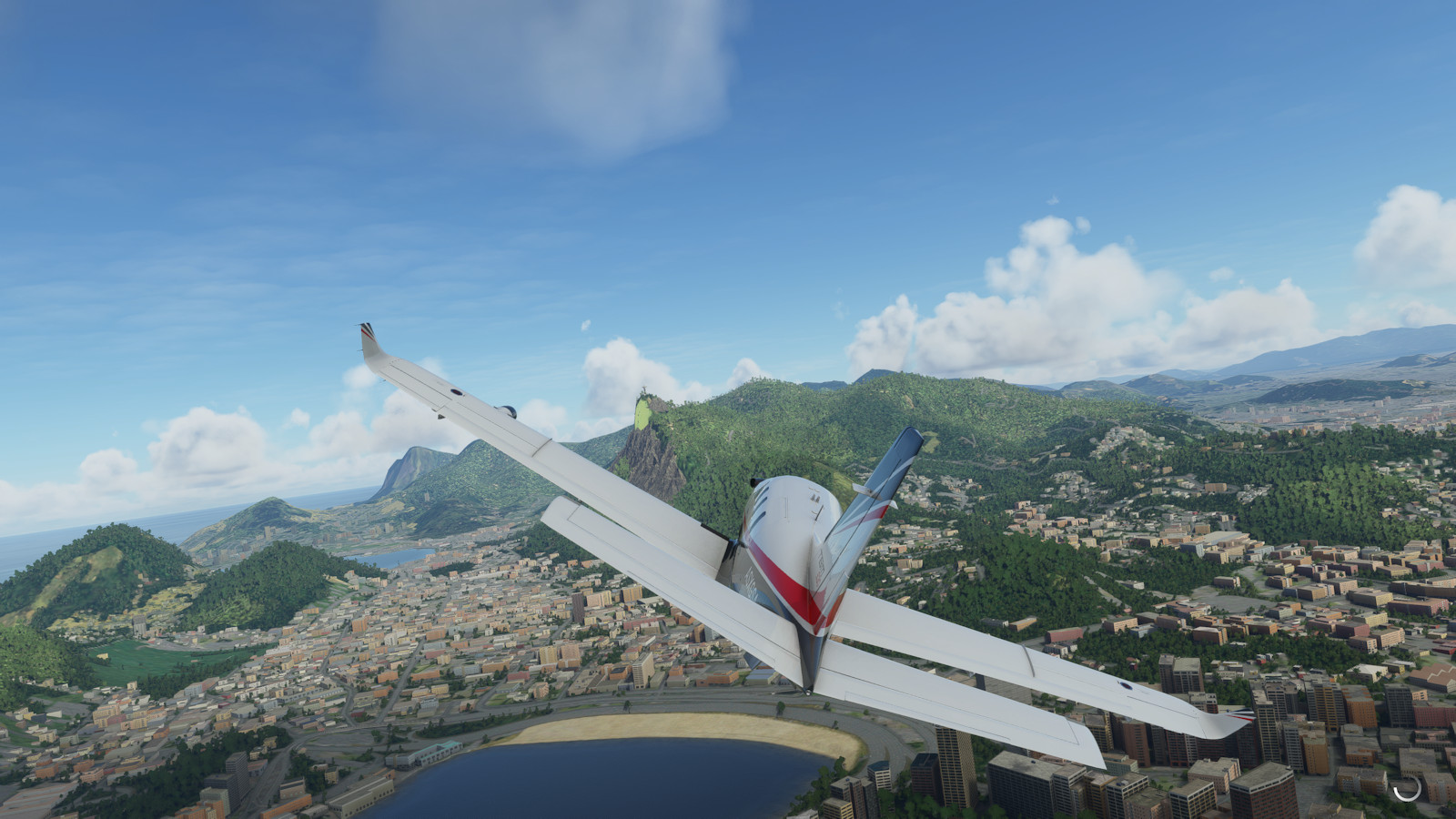
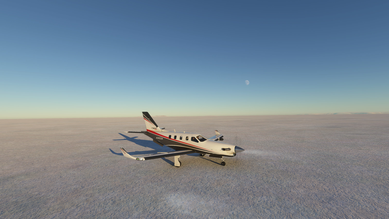
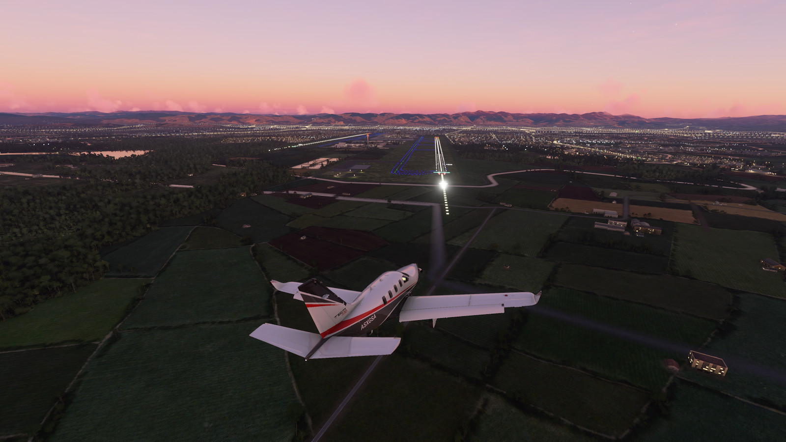
Here are some highlight pictures from the round-the-world plane trip. Click on the images to get a larger view in a photo gallery.
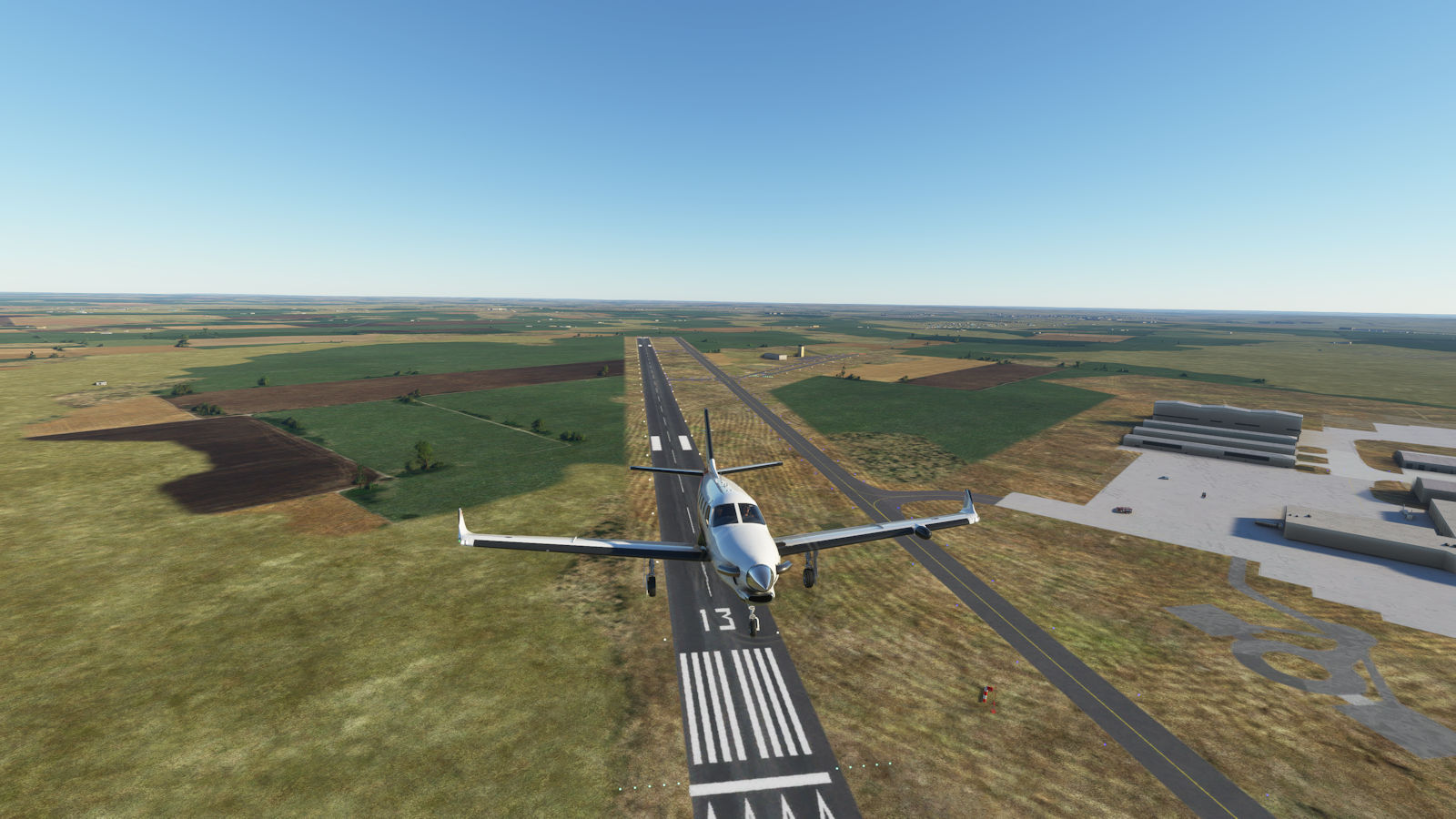

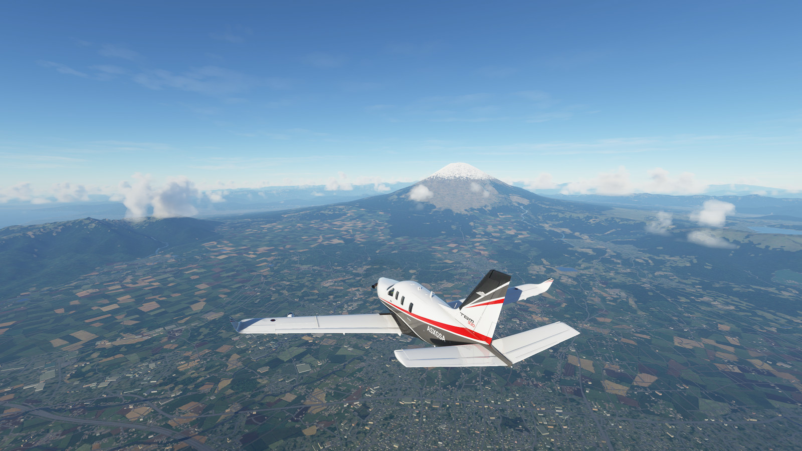
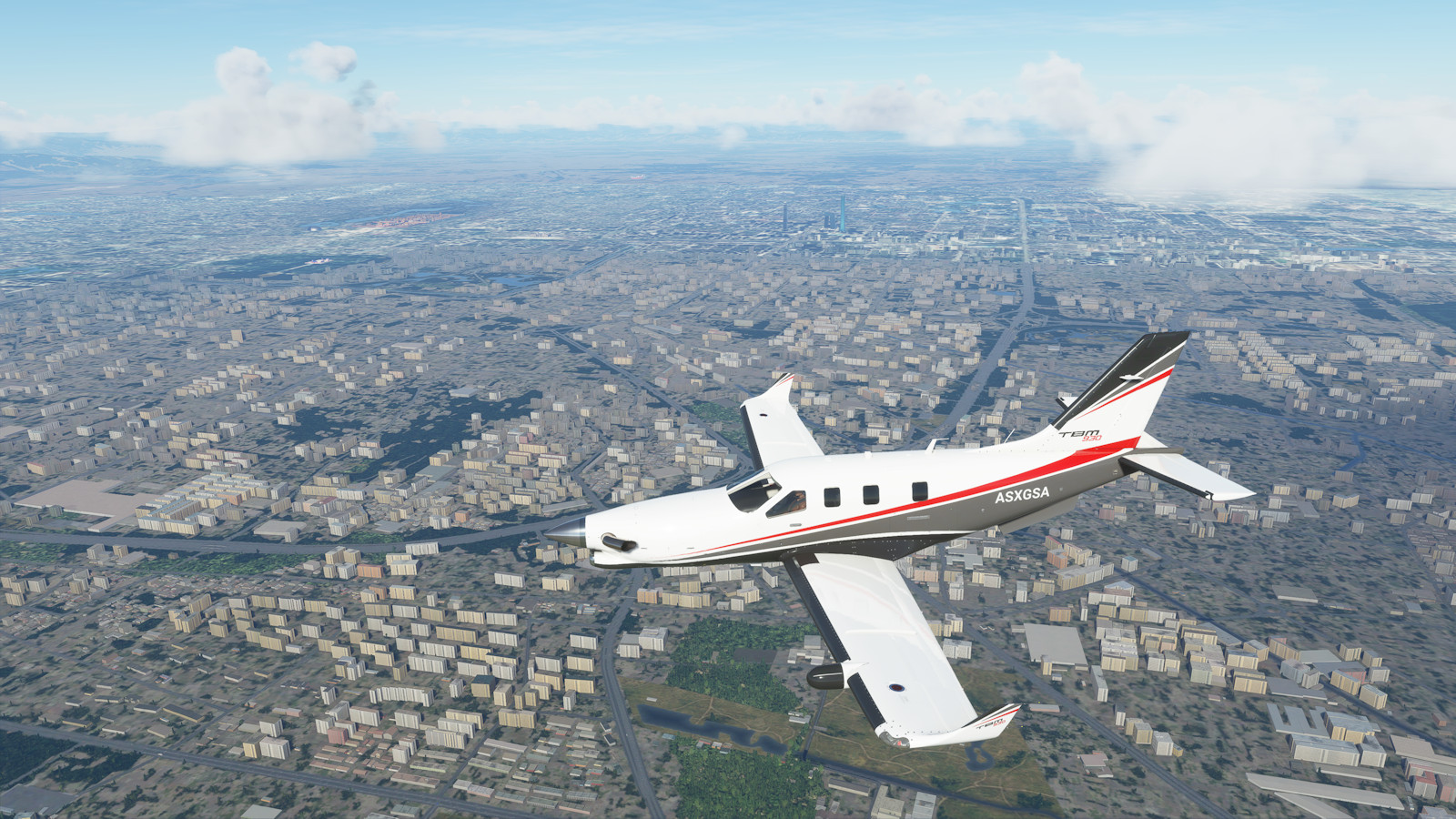

Select a text link or click on a flight plan picture to see more details from each segment of the trip.


I had a very good time with this epic plane trip. From the planning, to flying the plane, to reading about the locations on Wikipedia as I flew over, it was completely enjoyable. I'll probably fly around the world again.
Along the way I had ideas for other sites to see. I want to visit more World Heritage sites, and it might be great to visit the mightiest rivers, tallest mountains, and other places I've missed.
However, I'd like to learn another plane, possibly the Cirrus Vision jet. I'd also like to do more legs in instrument flight rules (IFR) or real world weather.
Flight simulation software and computer graphics are going to get better with more detail and more objects, and better modelling. We might laugh at these images, just as we look back on the flight simulators of the 1980s. It might be fun to revisit this route and get better images.
There is much more to explore and learn with this hobby.
Thanks for visiting.